Project Leader: Zhan Xingqun,School of Aeronautics and Astronautics
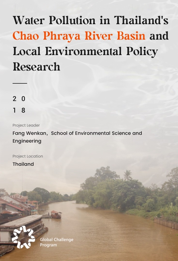
Project Location: China (Gansu,Qinghai)
Uninhabited areas in northwest China face serious safety risks due to missing geographic data and poor communication signals. These challenges have further restricted local economic development and infrastructure planning. At the same time, the region's harsh climate has made it extremely difficult to restore and protect many historical and cultural heritage sites through technical means.
The project team mobilized faculty and students across the university and traveled to uninhabited areas in Gansu and Qinghai. Where they operated UAVs to collect high-precision data, produce topographic maps, and validate 3D modeling techniques. In addition, the team engaged deeply with local communities through science outreach, public lectures, and field interviews to better understand the diverse challenges posed by the terrain. They aimed to develop solutions that are both innovative and practical, while supporting the implementation of these solutions locally contributing knowledge and strength to the sustainable development of China’s western regions.
In response to challenges revealed during UAV-based mapping and rescue operations in uninhabited regions, the project team developed detailed research reports and a Beidou RTK validation process. They generated a full set of UAV data processing outputs, including orthophoto maps for five critical regions, high-resolution digital terrain models, and 3D reconstructions. These achievements laid a solid groundwork for continued research and real-world applications.